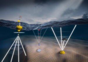
- Wave and current Measurement
- Meteorological Parameters Measurement
- Determination of Physical and Chemical of Water Parameters
- Sediment Measurement
- Water Sampling
Corresponding data Analysis and visualization
- Design, installation and development of GIS systems and geo databases
- Map and other spatial data digitizing with providing geo database
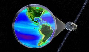
- Processing satellite images for producing vegetation map
- Studying and presentation of coastline changes using various data
- Combining existing data to produce useful information for new and diverse applications
- Connecting type of mass mathematical models & water engineering models with GIS
- Preparation and geometric correction of satellite images
- River and coast transverse profile surveying
- Environmental Impact Assessment (EIA)Strategic
- Environmental Assessment (SEA)
- Environmental Risk Assessment (ERA)
- Environment Management Plan (EMP)
- Air Quality Modeling
- Water Quality and Pollution Modeling (River, Dam, Wetland, Estuary and Sea)
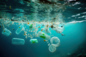
- Air, Water and Soil Pollution Assessment via Field Measurements
- Marine and river Aquatic Ecosystems Monitoring
- Marine Benthic Organisms Monitoring
- Basic design, site selection and feasibility studies
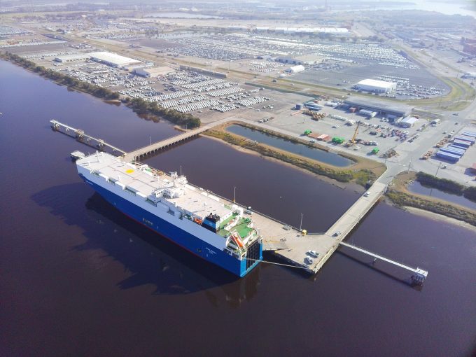
- Design and layout of marine terminals and recreational harbors
- Design and layout of harbours and shipping channels
- Design and layout of new port facilities and equipment and development of existing ports
- Port operations studies and ports management
- Study and design of various type of breakwaters
- Design of piers and sheet pile wall berths
- Mooring systems design
- Physical and numerical modelling for assessment of marine structures performance
- Accredited mooring analysis for all types of fish farms and feed barges in accordance with NYTEK23 and NS9514:2021
- Planning and dimensioning of components and complete fish farms
- Evaluations of used components for further approval / elongation of service life
- Technical analysis and dimensioning of nets
- Design, planning and analysis of new constructions for sea-based aquaculture
Our Team
- Spatial analysts who compile and analyze oceanographic and demographic data to determine ideal site locations.
- Oceanographers who deploy sensors and data loggers to generate site-specific information.
- Ocean engineers who run hydrodynamic models and environmental loading simulations to ensure systems are safe and built to survive.
- Naval architects who ensure equipment is stable and safe.
- Biologists who review growth and feeding projections to ensure they are achievable with the site and species selected.
- Economists who build validated economic models to forecast cash flow and financial returns.
- Farm managers who produce realistic production plans and develop operating protocols.
- Geneticists who develop long-term selection programs to improve fish performance without the risk of inbreeding.